
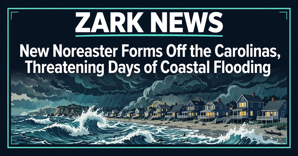
A new low-pressure system forming October 18–19 off the southeast coast threatens several days of persistent onshore winds, significant coastal flooding and beach erosion at high tides from New Jersey through the North Carolina coast, the National Weather Service warned. The system is distinct from the late-September nor’easter that struck the Jersey Shore on September 26–27, and the National Hurricane Center is monitoring it for possible subtropical development.
Moderate coastal flooding is expected at Monday and Tuesday high tides, particularly along the Virginia–North Carolina border, according to the weather service. The worst erosion risk is in the Outer Banks, where homes have already crumbled into the sea from earlier storms and the remaining dunes are highly vulnerable.
Coastal flood alerts are in effect across coastal North Carolina and Virginia, with 1 to 4 feet of inundation possible. QNA reported on October 19 that coastal flood warnings have been issued for parts of Maryland, Virginia and northeast North Carolina. Gusts could reach 45 mph, and AccuWeather projected 40 to 60 mph gusts from far southern New Jersey to Cape Lookout, North Carolina. Bouts of heavy rain are expected from New Jersey to the eastern Carolinas, and dangerous rip currents are forecast from Florida to New England all week.
The system is not as strong as the September storm, but forecasters say it could linger for days, compounding damage to an already eroded Outer Banks and wearing down weakened coastal infrastructure through midweek and possibly into the weekend.
Why it matters
This is a direct safety and travel story for millions of people along the East Coast, unfolding this week. Coastal flooding at high tides can cut off roads, flood basements and strand drivers in low-lying areas. Sustained onshore winds raise the risk of power outages from downed trees and lines. Beach erosion threatens homes already sitting close to the water’s edge in the Outer Banks, and the multi-day rip current danger makes swimming unsafe from Florida to New England. Anyone with travel plans along the coast this week should check local advisories and expect delays.
What happens next
This is a developing weather story. Forecasters will watch the Monday and Tuesday high-tide cycles for the flooding peak along the Virginia–North Carolina border, and the National Hurricane Center will issue updates on whether the system takes on subtropical characteristics. The duration of the event — whether it clears by midweek or lingers into the weekend — will determine how much additional erosion the Outer Banks sustains. Coastal residents should monitor National Weather Service alerts for their area as the system evolves.