Hurricane Trudy strengthened into a Category 1 storm off Mexico’s Pacific coast on Thursday and is forecast to become a major hurricane as it moves roughly parallel to the shoreline, raising the risk of flooding rain, dangerous surf and damaging winds across several coastal states.
The hurricane was about 300 miles, or 480 kilometers, southwest of Acapulco early Thursday, with maximum sustained winds near 75 mph, or 120 km/h, according to the U.S. National Hurricane Center figures reported by the Associated Press. It was moving northwest at about 9 mph.
Forecasters expected Trudy to reach major-hurricane strength — Category 3 or higher — by Friday. Mexico’s National Water Commission, Conagua, said the storm could strengthen further and potentially reach Category 4 intensity on Saturday while tracking near the coasts of Michoacán, Colima and Jalisco.
That intensity forecast can change quickly. A hurricane’s category describes its sustained wind speed, not the full danger from rain, flooding, landslides or waves, which can extend far from the center.
Where the greatest risks are expected
The National Hurricane Center forecast 4 to 8 inches of rain through the weekend across parts of Colima and Jalisco. Mexican authorities also warned of very heavy or intense rainfall in Guerrero and Oaxaca, with Michoacán and other west-coast areas monitoring the storm’s approach.
Heavy rainfall is a serious concern in mountainous coastal terrain because water can collect rapidly in low-lying neighborhoods and trigger landslides well away from the hurricane’s strongest winds. High surf and dangerous rip currents may reach beaches before the storm’s closest approach.
Authorities in Guerrero and Oaxaca were taking precautions, including suspending some classes and administrative activities, according to reporting in Mexico. Officials also urged residents and visitors to avoid dangerous seas and follow local civil-protection instructions.
As of Thursday afternoon, the projected track generally kept Trudy’s center offshore and moving northwest near Mexico’s Pacific coast. However, the forecast cone includes a broad area of uncertainty, and even an offshore track could bring significant rain, waves and gusty winds to land.
What “major hurricane” means
A major hurricane is one that reaches Category 3, 4 or 5 on the Saffir-Simpson Hurricane Wind Scale. Category 3 begins at sustained winds of 111 mph, while Category 4 begins at 130 mph.
The scale measures wind only. It does not measure rainfall totals, flash-flood potential, landslide risk or the size of a storm’s wave field. Communities outside the forecast center line can therefore experience dangerous conditions even if the eye never crosses the coast.
Rapid intensification is possible when a storm passes over very warm water with favorable atmospheric conditions. Forecasts of exact peak intensity remain uncertain, so residents should focus on official watches, warnings and local instructions rather than a single projected category.
An unusually active stretch for Mexico
Trudy follows several powerful storms in the eastern Pacific during recent weeks. Hurricane Simon reached Category 4 strength near Mexico’s west-central coast, while other systems brought flooding and disruption to coastal communities.
The repeated storms increase vulnerability because soils may already be saturated, waterways elevated and emergency resources stretched. Additional rain from Trudy could produce flooding more quickly in areas that have not fully recovered.
Travelers should also expect possible changes to flights, port activity and coastal road access as the forecast becomes clearer. Any closures or evacuation orders should be confirmed with Mexican federal, state and municipal authorities.
What happens next
The most important developments will be the speed of Trudy’s intensification, whether its track shifts closer to land and where the heaviest rain bands set up. Updated watches or warnings would narrow the areas facing the greatest wind and coastal hazards.
People in Guerrero, Michoacán, Colima, Jalisco and nearby coastal areas should monitor Conagua, Mexico’s national civil-protection authorities and the National Hurricane Center for new forecasts. Conditions and expected impacts may change substantially between advisories.
Forecast status: This report reflects information available on October 15, 2026. Hurricane forecasts are updated frequently; readers in affected areas should rely on the newest official advisory for safety decisions.
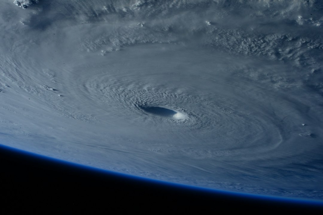
Featured image: A NASA photograph of a hurricane used as a general illustration. It does not show Hurricane Trudy.
Sources: Associated Press, citing the U.S. National Hurricane Center; El País México, citing Conagua.